• Skip to main content

St Andrews Trust

Preserving the heritage of St Andrew's Old Church, Bishopthorpe

  • Home
  • St Andrews
    • Importance
    • Our aims
    • St Andrews History
    • Achievements
  • News
  • Help with Amazon
  • About us
You are here: Home / Archives for St Andrews Trust

St Andrews Trust

Further correspondence with EA highlights difficulties with working relationship

28th February 2021 By St Andrews Trust

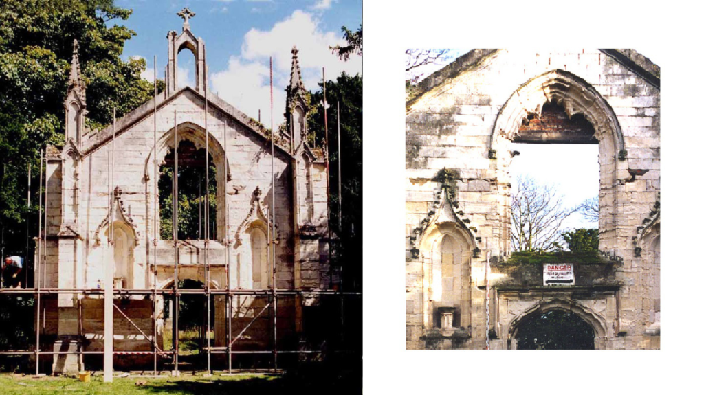
St Andrews Trust exists for the protection and conservation of the historic site of St Andrews church and the surrounding grounds, so we are keen to see a working and environmentally considerate flood alleviation scheme that protects our site as well as the wider community at risk from flooding.

Our discussions with the various agencies tasked with delivering the scheme now being implemented can be viewed in the documents published on this site previously (see below), but in summary we believe the current scheme to be less effective and much more environmentally damaging than our own proposed scheme which we have tried to get considered.

We have continued to press forward with our own scheme, and have now received planning consent from the Planning Inspector on Appeal.

Details of our position on receiving this consent were sent in a letter to the Environment Agency on 20th February 2021. You can read or download this letter here:

Letter-from-SAT-2021-01-22Download

You can read or download the Environment Agency’s response to this letter here:

Response-to-SAT-letter-dated-22-Jan-2021Download

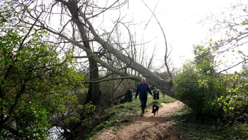
The state of the relationship with the Environment Agency took a further blow with a letter directed to us concerning an alleged incident during the first phase of tree removal works. You can read or download this letter here:

EA-Allegations-020221Download

Needless to say we dispute the points raised in this letter, and our reply can be read or downloaded here:

EA-Allegations-Response-050221Download

We have yet to receive any further comment on this from the Environment Agency.

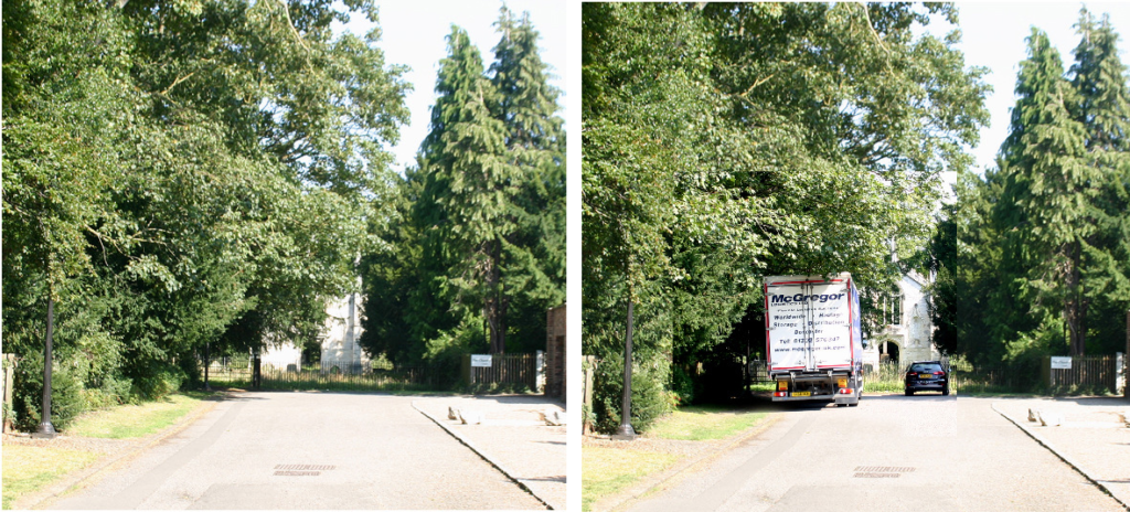
Meanwhile the removal of mature healthy trees continues.

Filed Under: News

Our response to the statements made in Environment Agency’s Zoom event of 4th November 2020

30th November 2020 By St Andrews Trust

We have already made our views clear about our opposition to the flood alleviation scheme as currently envisaged by the Environment Agency, and continue to argue for consideration to be given to our alternative more eco-friendly proposals. If you haven’t yet seen details of our own scheme you can see the details here.

The Environment Agency hosted a Zoom meeting on 4th November to present information on their scheme to Bishopthorpe residents, and to answer a number of queries that have been raised.

During this meeting a number of statements were made that we consider to be misleading. In response to this we have produced a document that you can download below, detailing areas where we believe incorrect and misleading information has been given.

Please download this document to get a better picture of the true status of the proposed scheme :

2020-11-26-Response-to-EA-Zoom-Event-News-SheetDownload

Filed Under: News

Our views on the proposed flood alleviation scheme

31st October 2020 By St Andrews Trust

We are receiving many enquiries prior to the Environments Agency’s online public event on Zoom on 4 November 2020 at 6.30pm, concerning the proposals for the Bishopthorpe flood alleviation scheme. St Andrews Trust has produced an alternative scheme that achieves an equivalent level of protection for the area with much less environmental impact.

Please click this link to download the document containing further information on our views and our alternative scheme.

2020-10-28-OUR-VIEWS-ON-FLOOD-ALLEVIATION-IN-CHANTRY-LANEDownload

Filed Under: News

St. Andrews Trust appeal to the Planning Inspectorate against Council’s planning permission refusal

6th September 2020 By St Andrews Trust

We are making an appeal to the Planning Inspectorate for the City of York’s refusal to grant us planning permission based on the following Statement of Case.

St Andrews Trust alternative planning application for flood alleviation – view our Statement of Case here, or download via the button
Download

Filed Under: News

St. Andrew’s Trust Conservation Management Plan

16th September 2019 By St Andrews Trust

Our Conservation Management Plan (CMP) and application for Conservation Area Consents explained.

20 years ago we intervened to stop the demolition of the west front of St. Andrew’s Old Church. Its window tracery had already been removed and scaffolding was being erected to take down the rest. Listed Building Consent to erase this landmark from Bishopthorpe was granted to its owners, the Church Commissioners, by the then local planning authority, Selby District Council.

It was said by them to be too dangerous and dilapidated to restore.

In 1999 we took freehold possession of this part of this old archiepiscopal estate and its eroding riverbanks, and over the next 3 years restored them with help from the National Heritage Memorial Fund and other heritage bodies.

As a result you now enjoy free access to the heritage site we established on this former private land and to its only open riverscape left in Bishopthorpe. Otherwise your route to the river is the busy unattractive road to an over-exploited campsite that Ferry Lane has become. Five years ago it was still a quiet green lane through a pleasant part of the Bishopthorpe Conservation Area, so we fully understand why our riverside path is now regarded by so many as an indispensable asset.

This is one reason for producing our new Conservation Management Plan (CMP) which sets out all the measures we need to take to ensure that you and your children continue to enjoy the same benefits for the next 20 years and beyond. 

In 1999 our earlier CMP attracted the substantial funding from the National Heritage Memorial Fund that enabled us to make these gifts to you. Our latest CMP is designed for the same purpose so that we can still continue to make them in future.

But first we need planning consent from the City of York Council to implement the first parts of our CMP, namely our flood alleviation scheme and solving the problem of the collapsing St. Andrew’s cross.

We have combined them in one application for consents under the 1990 Planning (Listed Buildings and Conservation Areas) Act because they will each affect the “character and appearance” of this area “of special architectural and historic interest” in different ways. This is the statutory definition of a Conservation Area first introduced by the Civic Amenities Act 1967. Its precepts and wording have not changed in the interim.

The emphasis is still very much on architectural content and historic character, which the definition goes on to say are “desirable to preserve (i.e. keep/retain) and enhance ( i.e emphasize / increase/bring out)”.

The prevailing character of our heritage site is entirely historic and it has a dominant architectural centerpiece that we have been at pains to preserve unaltered for the last 20 years. We have no plans to alter it now.

But the pre-emptive action we are planning to preserve the St. Andrew’s cross, by lowering it down gently in one piece before it falls and breaks apart, will remove it temporarily from the setting of this monument and reduce its historic content for a time. Our primary objective is to discover the cause of the sudden instability so that it can be rectified and the cross re- erected on firmer foundations. And, yes, this will also mean excavating the grave of an Archbishop of York using modern archaeological technics and protocols for the first time.

The principal change our flood alleviation scheme will make to the appearance of our site will be the enhancement of its historic character , in one of two ways.
Firstly, the compelling axial view of our architectural centrepiece along Chantry Lane is currently devalued by too much tree cover, parked vehicles, and litter strewn by their owners.

Our scheme removes these obstructions and reinstates this all-important axial relationship between our heritage site and its connection with the rest of the Conservation Area like this:

Secondly, these displaced headstones, 19 of them, are stacked along our southern boundary waiting to resume their proper places in our churchyard. We already have consent under the 1990 Act to do this.

The problem is that only the top two-thirds show above ground. The rest is buried and needs about a metre of compacted soil to stand in. We don’t have that depth at the moment because the whole area in front of the façade of St. Andrew’s Old Church was scraped level in the 1990s to form a construction site to install a large new drainage culvert through it from Chantry Lane to the river.

This is why the entrance to our site is rather low, flat, and featureless, lacking the character of an ancient churchyard in which multiple internments over a long period of time have raised ground levels. This characteristic feature is missing from our site.

We plan to reinstate it as an enhancement measure to serve three purposes for the price of one :

  • provide a low flood-resistant embankment
  • provide the depth of soil we need to restore our displaced monuments and
  • thereby emphasise the historic character of our heritage site in accordance with the precepts of the 1967 Act.

So what happens next?

Our planning application was validated by COYC on 8/8/2019 so it has until 3/10/2019 to come to a decision within the statutory determination period. Public consultations orchestrated by COYC are now taking place with particular reference to adjoining landowners, other community representatives, and of course the Environment Agency.

Obtaining statutory planning consent for our public works is an essential first step to then launching our fund-raising campaign. Almost all sponsors of heritage schemes in the U.K. insist on grant applicants providing proof of their expertise and a Consent Notice from their local planning authority. We are no exception despite being both a registered Environmental Body (E.B.) as well as a conservation trust answerable to the Charity Commissioners. As such we are as much a public body as the council itself but the common factor here is whether or not our proposals comply with the precepts of the 1967 and 1990 planning Acts. That is the sole matter for determination at present, and no other. You now have the statutory definition of a Conservation Area before you. Do our proposals comply? That is the only question COYC is required to answer by this application.

Filed Under: News

Public Rights of Way in Bishopthorpe

6th September 2019 By St Andrews Trust

The legal register of public rights of way in England and Wales is known as the Definitive Map. In York this Map is maintained by the City of York Council (COYC). The definitive map for York shows public bridleways (which are open to cyclists) and public footpaths (which are not even if cyclists have dismounted). This will surprise some who habitually ride along public footpaths as an assumed right; they are for foot traffic only.

Bishopthorpe’s parochial parish council has asked COYC for two more footpaths to be added to the Definitive Map. One is the St. Andrews’ Trust riverside path between Ferry and Chantry Lanes, the other is a towpath between Ferry Lane and Naburn.

Having considered the legal evidence for each claim, COYC has dismissed the first as false but agrees that a towpath exists as a public right of way all along the riverbank from Ferry Lane to Naburn. This means that you have no legal right to cross the Trust’s land anywhere, including along our riverside path. This is a permissive footpath only that we allow the public to use at our discretion and may close at any time. You have no public right of access to it but we have no plans to close it providing people behave responsibly while on it and cyclists do not use it.

The evidence used by COYC to investigate and substantiate the parish council’s claim that a towpath exists to Naburn is mainly the Ordnance Survey. Its maps show that one has existed here since at least 1850. Its legal route is along the riverbank, not along the modern vehicular road constructed away from the riverbank by the current landowner.

As the name implies, towpaths were used by horses (and people) to tow river craft upstream and many of our prettiest public rights of way in the U.K are of this type. Their main attractions are the open views of river or canal. At the moment the only place in Bishopthorpe where you are able to enjoy this experience is along our riverside path. This is why it is such a valued local amenity but not a reason for it to be either a towpath or a public right of way. It never has been one as the old O.S. map below shows. The Bishopthorpe towpath (red line) was diverted to the other side of the river by the Bishopthorpe Ferry before it reached our land. This is where the barge horses were ferried across because Bishopthorpe Palace and our old churchyard blocked the route to York on our side.

The route of the towpath and the ferry crossing

We have added the Georgian home of the ferryman who operated it and his small-holding to the map for reference. The outbuildings are where he kept his pigs and chickens to feed his family. Being a ferryman was not a well-paid job despite providing the only easy way for the residents of Bishopthorpe to get to Fulford Ings.

Crossing the river at the end of Ferry Lane

This attractive page from the long history of Bishopthorpe was ripped out by developers earlier this year and only the name Ferry Lane now remains as a sort of memento more. Even the old fruit trees on his little parcel of rented land (from the Archbishop) have been destroyed. This is where he grew his plums and apples.

We built our riverside path out into the river with substantial funding from the National Heritage Memorial Fund (NHMF) 20 years ago to serve a specific purpose. This was to join two parts of the Bishopthorpe Conservation Area together that were previously inaccessible to pedestrians, the main one based on Chantry Lane and the secondary one on Ferry Lane. The only reason the latter was considered to be an “area of special architectural and historic interest” was because Ferry Cottage and its historic site were in it. Now they are not it has lost its claim to be a conservation area and we have lost the reason for the existence of our riverside path. Technically it is now open for the NHLF to recover its money because that purpose is no longer being served, but not from the Trust. We gave formal warning to COYC before it granted Demolition Consent. If the NHMF does ever seek to recover its funding leading to the closure of our riverside path we shall direct its claim where it belongs to COYC, the developers, and the parish council who supported the loss of this single asset from the Ferry Lane conservation area.

Filed Under: News

The St. Andrew’s Cross

7th April 2019 By St Andrews Trust

The ground around the site seems to be staying waterlogged after high river levels longer than it ever used to. This might have something to do with raised water tables caused by current infilling of the flood plain immediately downstream.

It might also explain why the large stone cross on our heritage site erected in 1904 and upright and stable for more than a century has now begun to lean sideways.

Steps levered apart by rotation of plinth
Monument settling differentially

Something must be altering the load-bearing capacity of the ground to produce these symptoms of impending collapse.

We are applying to the Heritage Lottery Fund, the city council and residents for emergency finance to investigate and solve this problem. It is complex because this monument is listed as well as listing and in archaeologically sensitive ground. We need a large crane on site to lift it down before it falls and breaks apart. We can then begin to investigate causes and plan an appropriate conservation strategy to restore it back to a stable condition.

In the meantime our heritage site is too dangerous a place to visit and must remain closed for your own safety. You can see how much the base has moved since our railed enclosure was use as safe play space for the local pre-school play group only two years ago.

This symbol of a thousand years of Christian worship on this ancient site is a well-known local landmark and we will do our best to preserve it. But it will be a difficult and expensive problem to solve and we can’t do this without your financial help. If you would like to help us to solve this problem please contact us by email: info@standrewstrust.co.uk

Filed Under: News

Another tree falls

7th April 2019 By St Andrews Trust

Another tree has fallen across our riverside path, this time at the Ferry Lane entrance. Its roots lost grip in the waterlogged ground and collapse was inevitable in the wind. We have alerted the city council to deal with it as an emergency.

In the meantime please keep well clear. It is dangerous to climb on the tree or walk under it.

Filed Under: News

  • Page 1
  • Page 2
  • Go to Next Page »

Copyright © 2025 · Web design by Longwave Design